Powell Forest Canoe Route
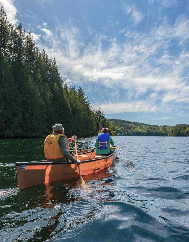
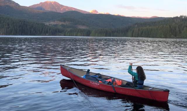
Experience an extraordinary wilderness canoe route adventure on the beautiful Sunshine Coast in British Columbia. The Powell Forest Canoe Route is a 57-kilometre, eight lake, five-portage journey that takes roughly five days. Portage lengths range from 0.7 km – 2.8 km, and paddling lengths range from 1 km – 28.5 km. The best time to travel the route is from June – October.
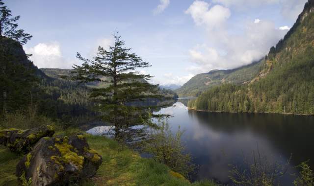
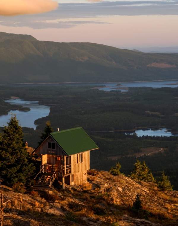
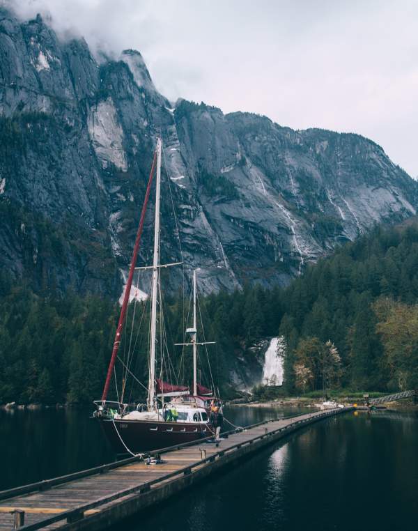
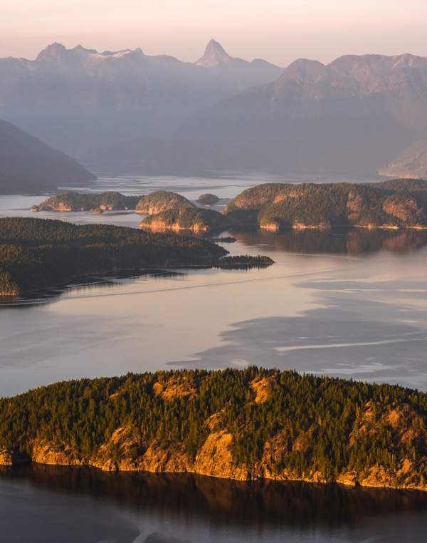
We suggest taking all the time you can to explore the beauty of this incredible chain of lakes. Your portages are often through beautiful old-growth forests and the lakes are peaceful, serene, and generally calm. Views consist of soaring coastal mountains laden with cedar, fir, and spruce trees, fjord-like waters, and occasional wildlife ranging from bald eagles to black bears.
If time doesn’t allow for it or you’re not up for the full five days of canoeing and portaging, you can get a head start from any access point along Goat Lake Main or put in at Windsor Lake and descend back down to Lois Lake (three days). Alternatively, start at Lois Lake and canoe to Khartoum Lake (two days). Whichever route you choose, paddlers are advised that there can be strong, inflow winds blowing down Powell Lake from the North and that the portage from Goat Lake to Windsor Lake is a steep uphill climb that would make travelling the reverse direction more challenging.
Discover the Powell Forest Canoe Route
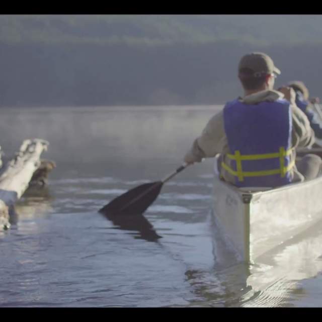
Click the "play" button to catch a glimpse of the Powell Forest Canoe Route.
Take Note
As with any paddling, you’ll want to be prepared for your longer paddling stretches by watching and predicting weather patterns so that you’re not paddling through rough waves and strong winds. Paddle earlier in the day to avoid gusty winds and wind down at your campsite early to enjoy a great dinner, swimming, and the overall beauty of the area.
Most of the Powell Forest Canoe Route lies within a Working Forest managed by Western Forest Products. All roads except Canoe Main have restricted access and may only be used on weekends, or during weekday hours from 8 pm - 5 am. Caution should always be exercised since there may be unscheduled traffic at any time. Drive slowly and cautiously, and observe and obey all signage. Check local road info before you leave.
Visit our FAQS page and our Route Descriptions page to learn more.
Map
Click here to download a copy of the Powell Forest Canoe Route map.
You can pick up a physical copy of the map at Visitor Centres on the Sunshine Coast.
Getting Here
Getting here is just the first part of your adventure! NOTE: Caution should be used when driving on all logging roads, and please keep headlights on. There also may be active logging in the area, so please observe and obey all signs.
From Vancouver
By car, Powell River is about 4 - 5 hours northwest of Vancouver. Although Powell River is part of the BC mainland, you’ll need to take two ferry rides to get there. Take the Horseshoe Bay to Langdale ferry (paid only one way at the Horseshoe Bay terminal), then drive from Gibsons to Earls Cove to take the second ferry to Saltery Bay (paid only one way at the Saltery Bay terminal when you return). Then, continue along Highway 101 towards Powell River for about 10 km. Look for the entrance sign on the right side of the road across the highway from Loubert Road (entrance to the community of Stillwater). After turning right (onto a gravel road), drive up the hill and approximately 5 km in, you’ll be at the start of the Canoe Route, Lois Lake Campsite.
You can also fly into Powell River from downtown Vancouver or from Vancouver International Airport (YVR) in Richmond. Keep in mind that equipment rentals are available if you plan to fly.
From Vancouver Island
By car, take the ferry from the Little River terminal in Comox to the Westview terminal in Powell River. Take Highway 101 south to Loubert Road (entrance to the community of Stillwater). Drive up the hill and approximately 5 km in, you’ll be at the start of the Route, Lois Lake Campsite.
Get the answers to some of the most frequently asked questions about the Powell Forest Canoe Route.
Learn more about each section of the Powell Forest Canoe Route.
